
TELENGANA DISTRICTS MAP LINE DRAWING WHILE FLOATING ON WATER
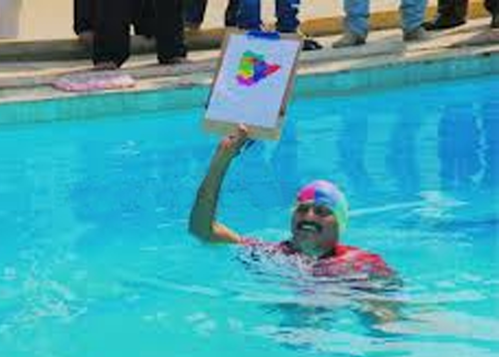
Ch. Kumaraswamy (born on May 26, 1963) of Warangal, Andhra Pradesh, drew the outline drawing of Telanganna Map(a part of Andhra Pradesh) while floating on water, within 11 minutes and 1 second, on December 17, 2012. He made the drawing on A4 size sheet with a pencil and used a pen for writing the names of 10 districts. This map measures 12 cm vertically and 13.3 cm horizontally.